Collection: Airservices Publications
-

En Route Supplement Australia (ERSA)
Regular price $9.20Regular priceUnit price per -

Australian WAC World Aeronautical Charts
Regular price $14.50Regular priceUnit price per -

Australian AIP Full Text
Regular price $56Regular priceUnit price per -

Airservices PCA Planning Chart
Regular price $9.90Regular priceUnit price per -

Australian VTC 09 July 2026
Regular price $13.90Regular priceUnit price per -

Australian DAP'S Full Text
Regular price $42Regular priceUnit price per -

Australian VNC 09 July 2026
Regular price $13.90Regular priceUnit price per -

Australia ERC Low 09 July 2026
Regular price $13.90Regular priceUnit price per -

Australian TAC 09 July 2026
Regular price $13.90Regular priceUnit price per -

Australian AIP Amendments
Regular price $15Regular priceUnit price per -

Australia ERC High 09 July 2026
Regular price $13.90Regular priceUnit price per -

Sydney General Flying Guide 09 July 2026
Regular price $13.90Regular priceUnit price per


Official Airservices Australia Publications - Current Charts for Australian Pilots
Every flight in Australian airspace begins with the right charts. This collection brings together the complete range of official Airservices Australia publications, from visual navigation charts to en route charts, terminal procedures, and the ERSA, so you can plan, navigate, and operate with confidence in any Australian airspace.
All publications are produced by Airservices Australia, the government authority responsible for safe and efficient air navigation across the continent. Current editions in stock.
Visual Navigation Charts
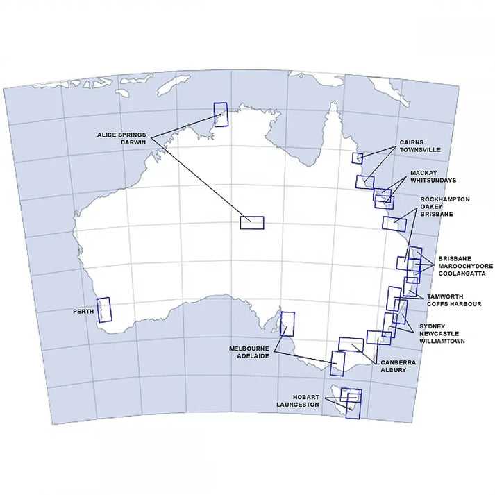
Planning a VFR cross-country? The Australia VNC covers Australian airspace at 1:1,000,000 scale, the standard chart for VFR pilots navigating beyond the local area. For terminal areas and complex airspace around major aerodromes, the Australian VTC 1:250,000 provides 1:250,000 detail of controlled airspace, CTAFs, and low-level routes.
En Route Charts
IFR pilots operating in controlled airspace need the Australia ERC Low for airways below FL200, and the Australia ERC High for upper airspace operations. Both are updated regularly and essential for legal IFR flight in Australia.
Procedures & Supplements
The ERSA Loose Leaf is the go-to reference for aerodrome information, communications, NOTAMs, and operational data, no cockpit is complete without it. For instrument approaches and SIDs/STARs, the Airservices Departure and Approach Procedures (DAP) contains all instrument approach plates for Australian aerodromes.
The AIP Aeronautical Information Publication Complete with Binder is the authoritative source for Australian aviation regulations, airspace structure, and navigation procedures, required reading for all pilots operating under the CASR framework.
Planning & Area Charts
The Sydney General Flying Guide is an essential local reference for pilots operating in Australia's busiest airspace. For broader strategic planning, the Australia WAC Chart and AUS PCA give you the big picture across Australian and regional airspace.